Topline
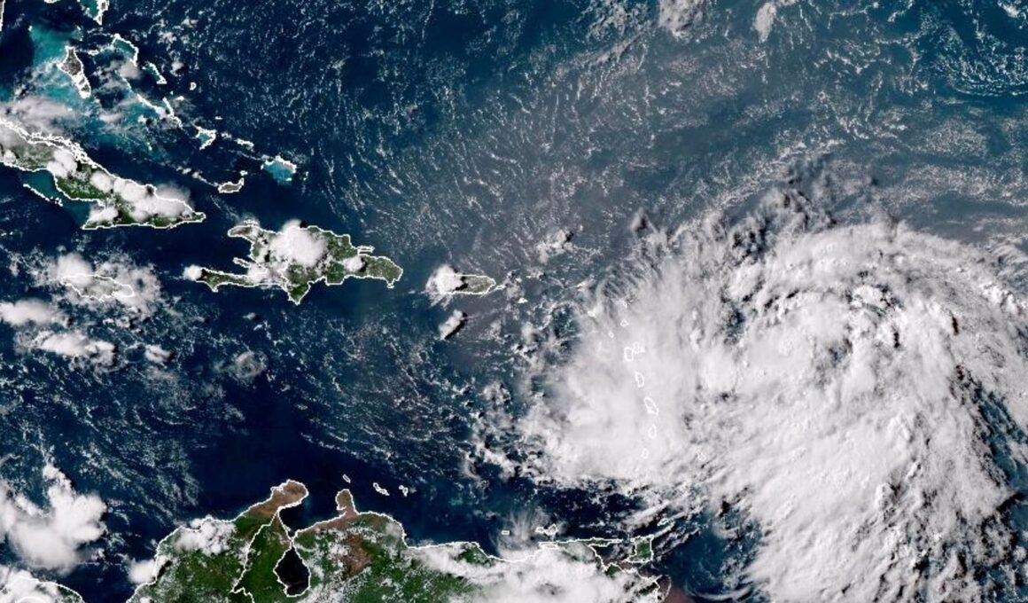
Hours after strengthening into the third hurricane of the season, forecasters warn Hurricane Ernesto will bring “life-threatening” rip currents to the East Coast as it barrels north toward Bermuda, after pummeling Puerto Rico and the Virgin Islands.
A hurricane warning is in effect in Bermuda, where forecasters warn Hurricane Ernesto could make a … [+]
Key Facts
As of Thursday morning, Ernesto is moving north at 14 mph just east of the Bahamas, packing maximum sustained winds of 85 mph, making it a Category 1 hurricane and only 9 mph away from a Category 2 designation, according to the National Hurricane Center.
A hurricane warning is now in effect for Bermuda, where the National Hurricane Center warns rainfall will pick up on Thursday, with flash flooding possible Friday through the weekend.
AccuWeather meteorologists have urged people in Bermuda to prepare for direct impacts from Ernesto this weekend, with AccuWeather lead hurricane expert Alex DaSilva warning the storm could pass within 100 miles of the island Saturday morning.
While the storm is not projected to make direct landfall on the U.S., forecasters expect it to bring dangerous swells to the East Coast over the weekend.
The National Hurricane Center warns people on the East Coast to prepare for a “significant risk of life-threatening surf and rip currents,” adding those conditions are also possible in the Bahamas, Dominican Republic, and Turks and Caicos islands in the coming days.
Get Forbes Breaking News Text Alerts: We’re launching text message alerts so you’ll always know the biggest stories shaping the day’s headlines. Text “Alerts” to (201) 335-0739 or sign up here.
Key Background
Ernesto formed into a hurricane north of Puerto Rico late Wednesday morning, after battering the northern Leeward Islands and leaving thousands of homes and businesses powerless in Puerto Rico and the Virgin Islands. The hurricane is the fifth named tropical storm and third hurricane of the already busy 2024 Atlantic season, which the National Oceanic and Atmospheric Administration had predicted would be one of the busiest on record. Earlier this month, Hurricane Debby made landfall on Florida’s Gulf Coast as a Category 1 storm, pounding Florida with rain before moving slowly up the East Coast. The first hurricane of the year — Beryl — strengthened into a category 5 storm with winds of 160 mph in early July as it moved south of Jamaica toward the Yucatan Peninsula.
What To Watch For
The Atlantic hurricane season officially began on June 1, though it typically ramps up as the sea-surface temperature climbs in late August through September. In its 2024 outlook, NOAA predicted a total of 17 to 25 named storms over the course of the season, with eight to 13 becoming hurricanes including four to seven major ones (with maximum sustained winds of at least 111 mph). AccuWeather meteorologists also predicted a brutal hurricane season with up to 25 named storms, attributing the high number to near-record sea-surface temperatures and the presence of La Niña, which dampers disruptive wind shears, enabling hurricanes to develop.
Fection Title
Report the details…
“>


