Topline
Forecasters warn an intensifying Caribbean tropical storm will strengthen into the next Atlantic hurricane of the season as early as Tuesday night, potentially becoming the second major hurricane of the year—and forecasters say hurricanes will keep on coming over the next several weeks.
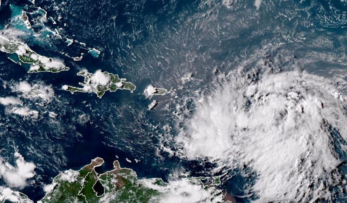
Tropical storm Ernesto is expected to form into a hurricane Tuesday night.
Key Facts
As of Tuesday afternoon, Tropical Storm Ernesto is east of Puerto Rico with maximum sustained winds of 60 mph and is moving west-northwest at 18 mph, according to the National Hurricane Center.
Forecasters expect the storm to strengthen into a hurricane (maximum sustained winds of at least 74 mph) overnight as it passes northeast of Puerto Rico.
Tropical storm conditions will continue over the northern Leeward Islands—including the U.S. and British Virgin Islands—through Tuesday evening, with hurricane conditions possible in the Virgin Islands on Tuesday night, while “life-threatening” surf and rip currents are expected to impact the Dominican Republic, Turks and Caicos and Bahamas over the next several days.
After passing north of Puerto Rico, the storm is expected to threaten Bermuda later this week, and could become a major hurricane as it moves toward the island.
Ernesto is not expected to threaten the U.S. mainland over at least the next several days.
Get Forbes Breaking News Text Alerts: We’re launching text message alerts so you’ll always know the biggest stories shaping the day’s headlines. Text “Alerts” to (201) 335-0739 or sign up here.
Big Number
Up to 25. That’s how many named Atlantic tropical storms the National Oceanic and Atmospheric Administration predicted could form this season, the most dire preseason forecast the administration ever issued and well over the seasonal average of 14 named storms. Near-record hot sea surface temperatures and a drop in disruptive wind shear brought on by the La Niña weather phenomenon were major factors in the forecast for an extremely active season. Last week, NOAA warned higher than normal activity is likely through the end of the season, predicting between 17 and 24 named storms, including eight to 13 hurricanes (plus-74 mph sustained winds) and four to seven major ones (111 mph winds or greater). So far, there have been fived named storms, two of which became hurricanes, with one of those reaching major hurricane status.
Key Background
The first hurricane of the season— Hurricane Beryl—formed in the tropical Atlantic Ocean in late June, quickly intensifying into a Category 5 major hurricane before slamming Jamaica and Mexico’s Yucatan Peninsula. It was the earliest in history a storm reached either Category 4 or 5 status in the Atlantic basin. Beryl weakened into a tropical storm as it moved westward before re-strengthening into a hurricane before making another landfall in Texas. Earlier this month, the second hurricane of the year— Debby—made landfall in Florida, bringing heavy rain and flooding before trudging slowly northward across the eastern United States.
Further Reading
“>


