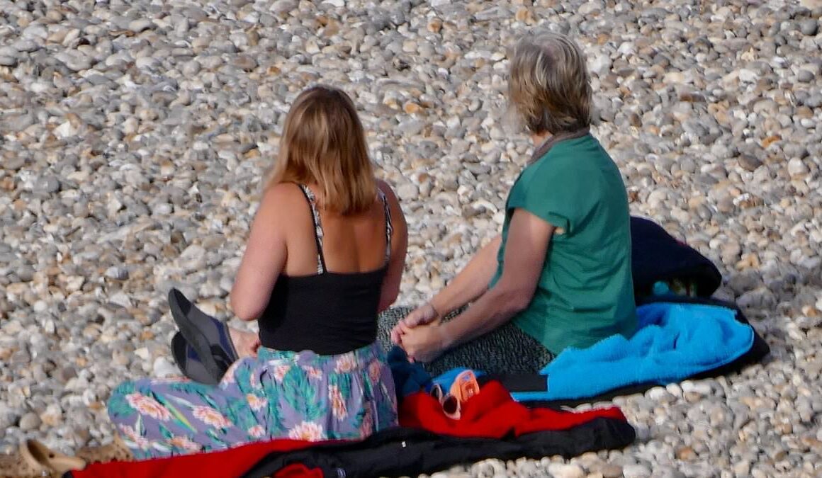
The UK heatwave is ending with rain and unsettled conditions predicted, but families have flocked to the beach today to catch the last of the sun.
Just as Britain was finally getting some hot weather after a disappointing summer, things are predicted to get much cooler.
Today will see highs of 23C in certain parts, which is markedly lower than the highs of 30.2C seen in Wisley, Surrey yesterday.
Recent conditions for much of England and Wales are subsiding and being replaced by a cold airmass which will cause some persistent rain in places over the weekend and into next week.
Met Office chief meteorologist Andy Page said: ‘The recent influence of high pressure on the UK’s weather is now subsiding and is being replaced by more of a dominant westerly weather regime.

People pictured out enjoying the early mornings sunshine in Sidmouth, Devon

A woman walks along the sea front by the cliffs in Sidmouth, Devon to make the most of the last of the sunshine

Today will see highs of around 23C, which is markedly lower than the weather in recent days
‘This is seeing temperatures dip back towards average for the time of year for many but will also open the door to some more persistent rain into northwestern areas in the coming days.’
People were pictured today in Sidmouth, Devon, making the most of the sun by hitting the beach.
It hasn’t been warm and sunny for everyone this morning as much of the southeast and east is forecast rain.
This will clear through the day and possibly make way for thundery showers by the afternoon, the Met Office predicts.
Sunny spells may come with scattered showers across Northern Ireland and Scotland but it is expected to feel fresher yet still pleasant for most.

A swimmer makes his way out of the sea in Devon. Conditions are due to be unsettled again

Recent conditions for much of England and Wales are subsiding and being replaced by a cold airmass (A woman is seen enjoying the sun in Devon this morning)
By Sunday, the Atlantic weather fronts will introduce more persistent rain for Northern Ireland, western Scotland and the far northwest of England.
This band of rain is likely to be relatively slow moving with some heavier bursts possible on Monday.
The Met Office has issued a yellow weather warning for rain in western Scotland on Monday.
Sunday will be mainly dry for England and Wales but it will feel more unsettled early next week with a band of rain gradually drifting from the northwest further to the southeast.

People enjoy the beach in Broadstairs, Kent on Friday, August 2. The southeast and east of England could see thunderstorms this afternoon

People sunbathe in Broadstairs in yesterday’s hot weather. Some forecasters believe the UK could see another burst of heat by mid-August
There is likely to be a build of warmth and humidity, though not as hot as recently, and there will be a small chance of some thunderstorms developing in the warmer airmass over southeast England on Tuesday.
Temperatures are expected to hover around the average for August despite the mixed conditions.
The south will likely experience warmer spells due to more frequent sunshine.
Some forecasters have hinted at the possibility of a new heatwave around mid-August.
James Madden from Exacta Weather said the UK might experience the highest temperatures of the summer by August 10 – 15.


